1
/
of
2
Mo’s Postcards
Scotland Postcard: The Firth Of Clyde Map Illustrated Multicolour 1960's XT5621
Scotland Postcard: The Firth Of Clyde Map Illustrated Multicolour 1960's XT5621
Regular price
£2.00 GBP
Regular price
Sale price
£2.00 GBP
Taxes included.
Shipping calculated at checkout.
Quantity
Couldn't load pickup availability
This beautifully detailed map illustration outlines the scenic coastal waterways and islands across the historic Firth of Clyde region. Key locations such as the Isle of Arran, Bute, Dunoon, and Helensburgh are clearly plotted alongside charming vignettes of local landmarks like Burns' Cottage. It serves as a colorful cartographic keepsake highlighting the unique geography and maritime heritage of western Scotland.
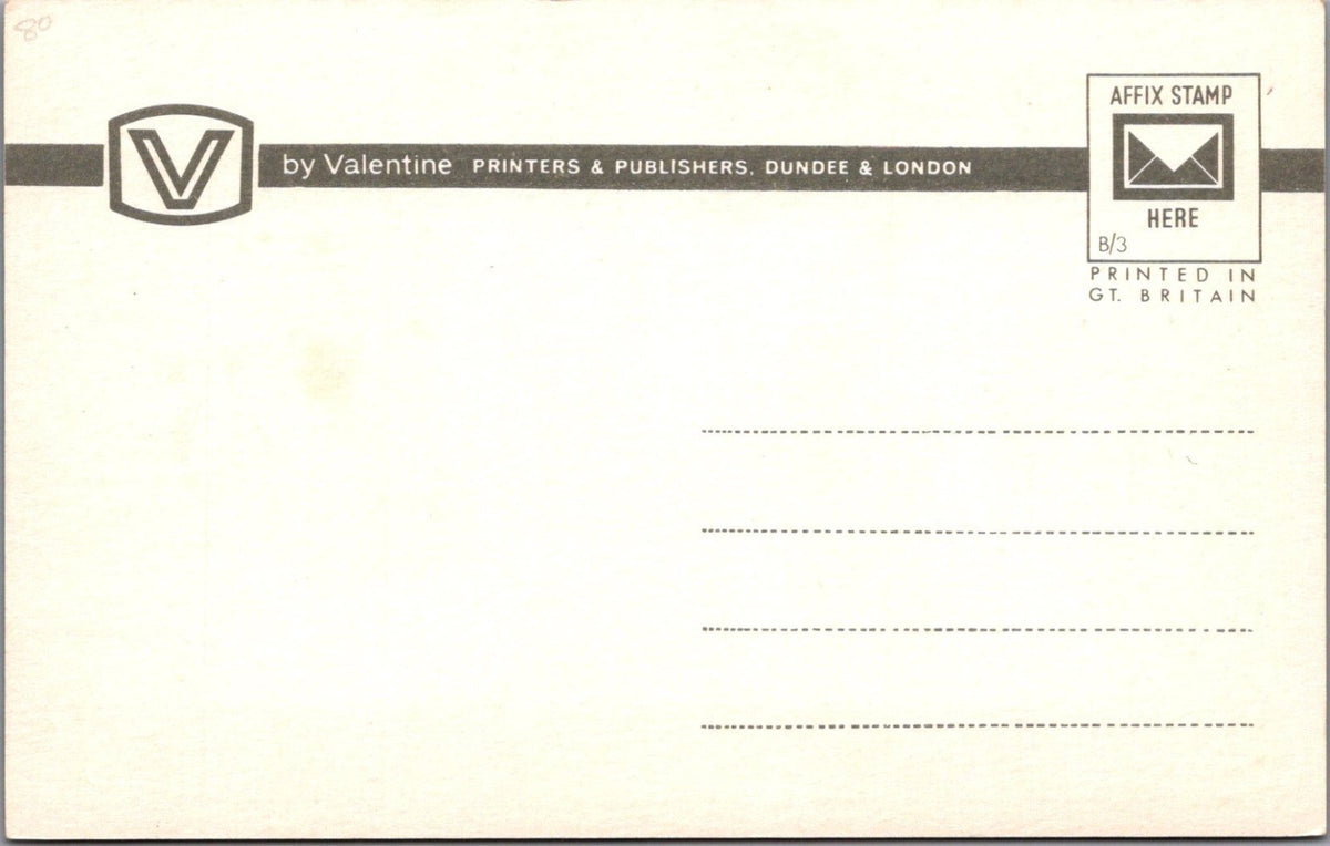
This is a standard size postcard which was published by Valentine & Sons Ltd. The postcard was made in the United Kingdom. This is an unused postcard.
Please also use the image magnifier to make your own assessment on the condition. Please ignore any lines caused by the scanner.
When possible all of our postcards will be posted to you inside a collectable plastic postcard sleeve and a board backed envelope which will be marked 'Please do not bend'.
Any watermark does not appear on the actual postcard'.
Share